Vermillion Cliffs and Stone Houses by Sherri McEwen

Vemilion Cliffs - reddish/orange sandstone along part of the ‘Honeymoon Trail’ - a route that was taken by newlywed Mormons to go to St George, Utah to sanctify their vows.

Not an ancient stone house - a Ziegfeld dancer and her husband were travelling the road when their car broke down. They decided to stay and started building dwellings around the rock and serving food to travellers.

Great ‘unplugged’ accommodation in the desert.

Grand Canyon by Sherri McEwen

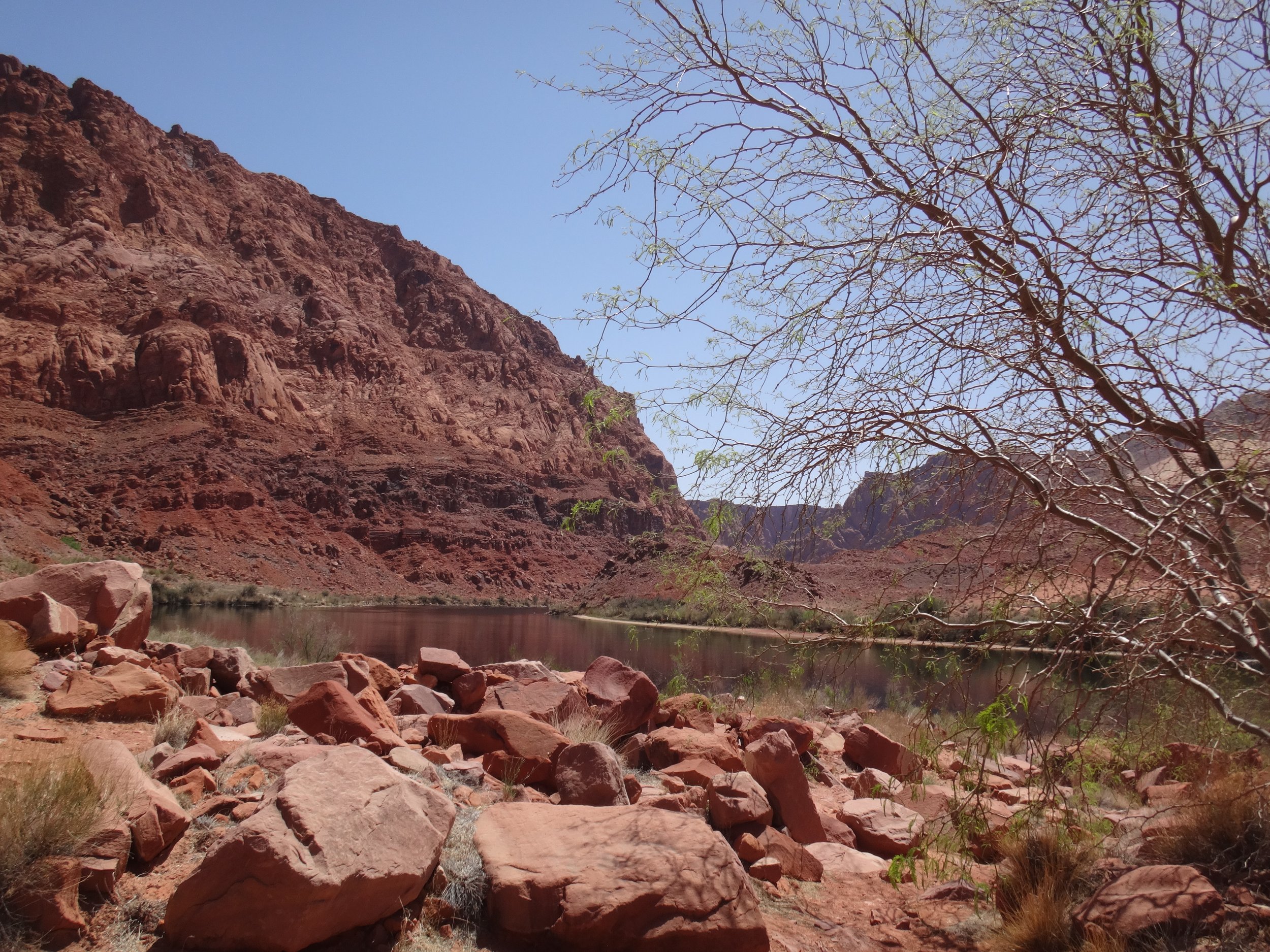
The Little Colorado River Gorge - just outside Grand Canyon Park - sometimes called “Grand Canton East”, in the Navajo Nation.

South Rim Grand Canyon - not the world’s longest or deepest canyon at an average depth of 1 mile (almost 1.5 at its deepest) and 277 miles long (longest and deepest is in Tibet) - not the widest at 18 miles across at its widest (widest is in Australia). USA’s most remote village, Supai, with about 200 residents is at the bottom of the Canyon and gets mail delivered by mule. Grand Canyon became a national park in 1919.

A ferry and a bridge across the Colorado River by Sherri McEwen

Lee’s Ferry - the only place where the Colorado River could be easily crossed and the start of the Grand Canyon - John Lee ran a ferry there starting in 1870. With two of his wives (he was a Mormon) and his children, started a small settlement called Lonely Dell. He had taken part in the Mountain Meadows Massacre in 1857 (was hiding out from the law at Lonely Dell) but was arrested in 1877 and executed by firing squad. Ferry service continued for more than 50 years before the Navajo Bridge was built.

Remains of the old Fort and Assay Office.

Remains of the boiler from sternwheeler steamboat - brought in pieces from San Francisco and assembled nearby. Investors thought it could haul coal better than a mule train - problem was it burned all the coal it could haul just to run. It was run ashore and abandoned - part of the hull is still visible where sand meets the water.

Residence for the Lee Family and the root cellar.

Irrigation for ….

… the orchard!

Navaho Bridge - the original (foot traffic only nowadays) was started in 1927 for increasing automobile traffic that the ferry was not safe or reliable to cross the Colorado River.

Second twin bridge completed in 1995.

California Condors

Hooghans and Cliff Dwellings by Sherri McEwen

Photos below -Hooghans - traditional homes of Navajo peoples - many homes have modern ones - door always faces the east to welcome the sun. These were in Shonto - Navaho community - no one around to ask if they had been hooghans, underground houses or sweat houses.

Old traditional hooghan

Navaho National Monument - cliff dwellings of Pueblans - occupied in the later 1200’s - about 150 rooms and 6 kivas round towers, built of sandstone blocks and mortar). Farmers who grew the 3 Sisters - corn, beans and squash - squash planted at the base of the corn to grow up the corn stalks and use less space, beans added nitrogen back to the soil. Built in Canyon cavern to provide protection from the elements and attacks. Abandoned near the ends of the 1200’s - maybe drought, depletion of arable land, spiritual quest or attack.

Looks like a diorama but the cavern is 450 feet high and almost 400 feet deep. The dwellings were built from one side to the other.

Dam Desert by Sherri McEwen

Glen Canyon Dam - 710 feet - ten years to build starting in 1956 though many adjustments/repairs required right up to 1984 - dams the Colorado River and formed Lake Powell

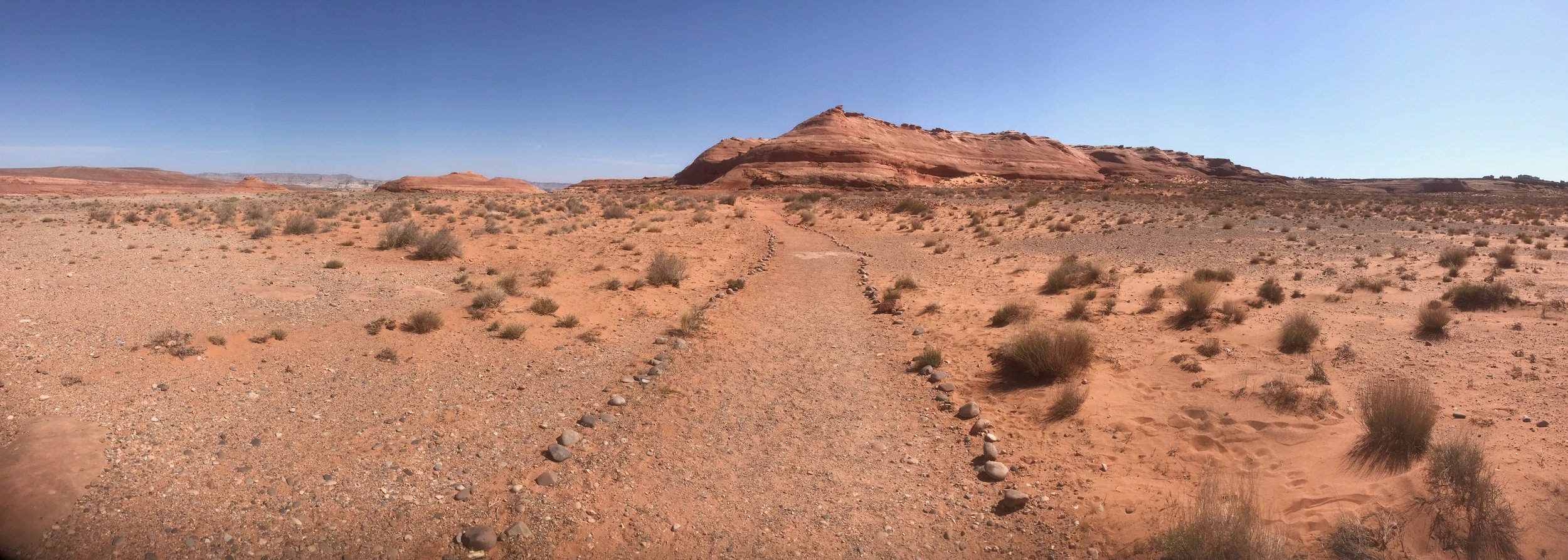
Desert walk to the Hanging Gardens - plants on cliff walls fed by springs

This path was to lead to the Hanging Gardens … hmmm

He’s looking for them, too

Oh, there they are …

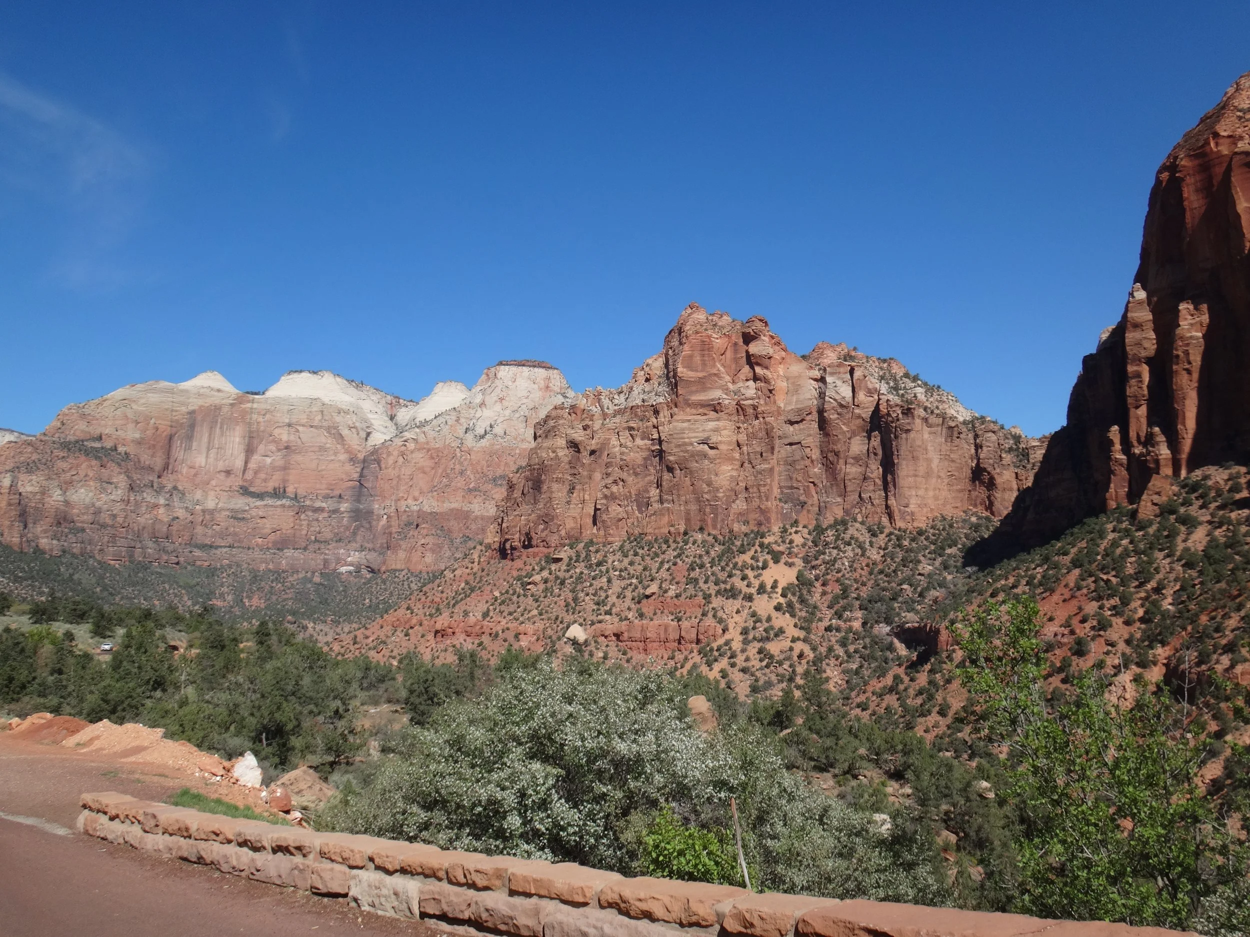
Zion National Park and Coral Pink Sand Dunes by Sherri McEwen

Rather brisk morning drive to Zion!

Icicles in the morning sun

1.1 mile tunnel thru the mountain

Canyons and Caves by Sherri McEwen

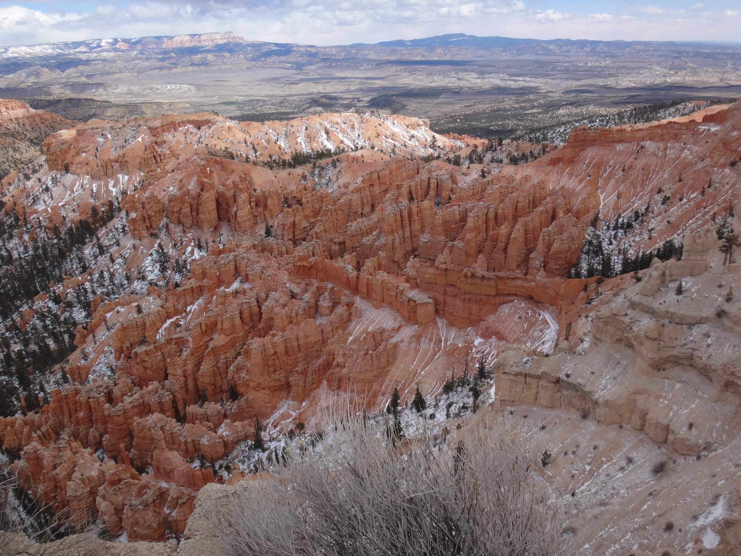
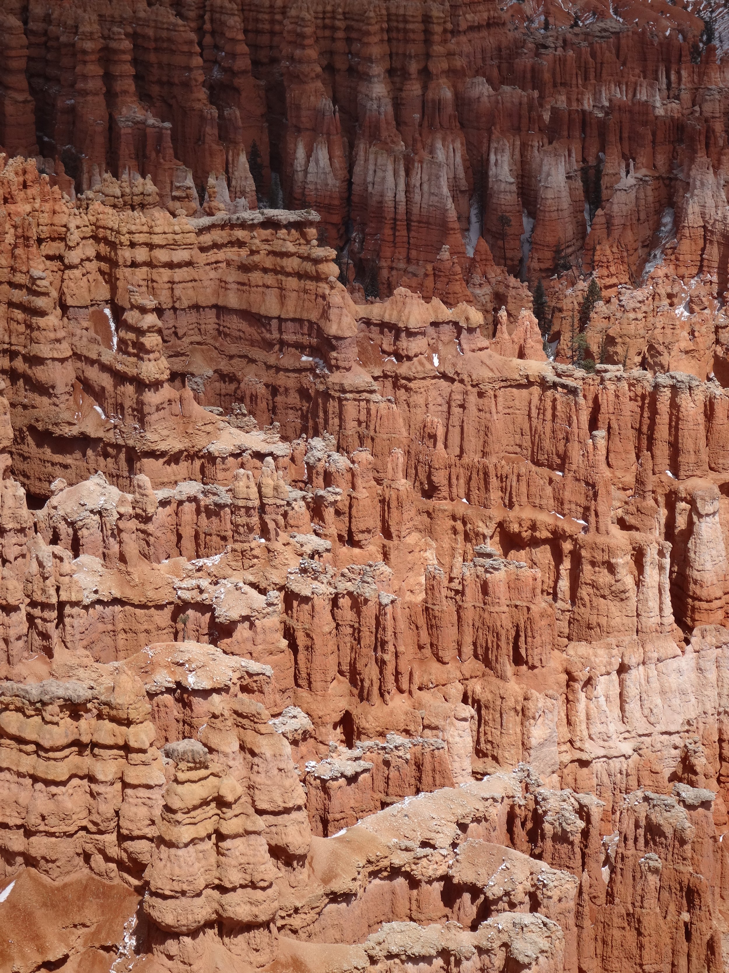
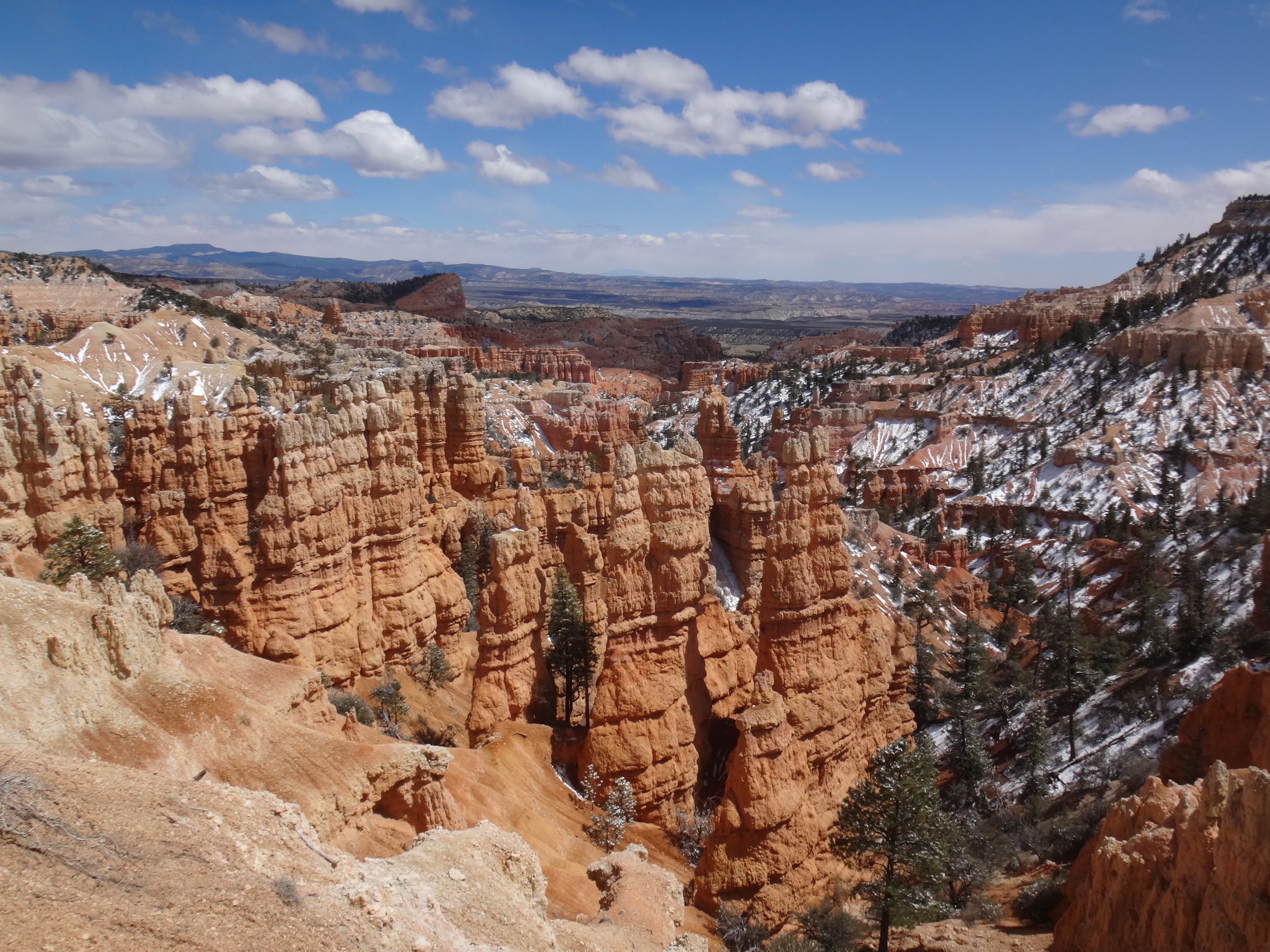
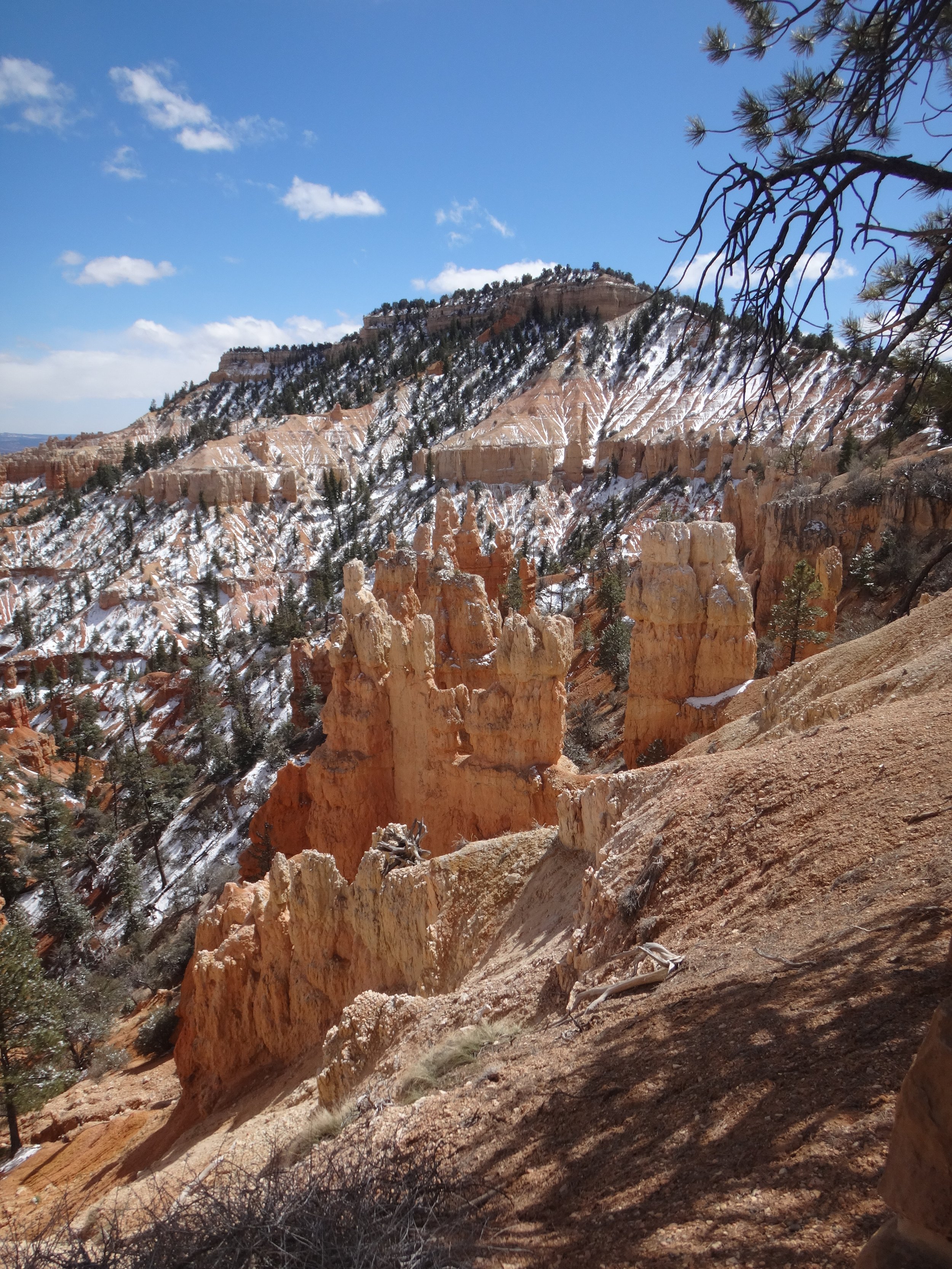
Red Canyon - red hoodoos, red cliffs, pink soil and ponderosa pines

Just came thru a ten minute blizzard, temperature of below 4 Celsius - skies cleared but still cold!

Parts of Bryce Canyon Park were above 8,000 feet, where altitude sickness can start kicking in. Did some barely moderate hikes - breathing fast, heart rate up and lots of stops to catch my breath - and with a brisk wind, it was COLD!

Short drive outside Bryce Canyon Park for short hike to Tropic Ditch - hand dug for 2 years with primitive tools - completed in 1892, to bring water to the town of Tropic

Day ended with a stop at Moqui Cave - huge sandstone cave, originally used by Anasazi people to store food, 19th century settlers rediscovered the cave in the 19th century, used as a speakeasy in the 1920’s during Prohibition then bought by the Chamberlain’s in 1951 who opened a tavern and dance hall. He was a collector of indigenous artifacts, dinosaur tracks from the area, rocks and minerals which are displayed there - including the original bar.
Loved the fluorescent minerals and minerals/rocks he gave names to for what he saw they resembled.

Toadstools, slot canyons and painted mountains. by Sherri McEwen

A hike to an otherworldly place with Dr Seuss shaped balancing rocks (called “Toadstools”) and hoodoos.

Entrance into Wire Pass Slot Canyon

Slot canyons - narrow gorges with steep high walls formed by water erosion - do not want to be caught in one when there is a flash flood! This one had a couple of distinct areas with different colour of rock and had some petroglyphs.

It was easily 20 degrees colder in the lower slot.

The painted mountains on the way to the ghost town of Pahreah